Corner of Bagshot Street and Smyrk's Road, Walworth
Introduction
The photograph on this page of Corner of Bagshot Street and Smyrk's Road, Walworth by Robin Stott as part of the Geograph project.
The Geograph project started in 2005 with the aim of publishing, organising and preserving representative images for every square kilometre of Great Britain, Ireland and the Isle of Man.

There are currently over 7.5m images from over 14,400 individuals and you can help contribute to the project by visiting https://www.geograph.org.uk
Corner of Bagshot Street and Smyrk's Road, Walworth
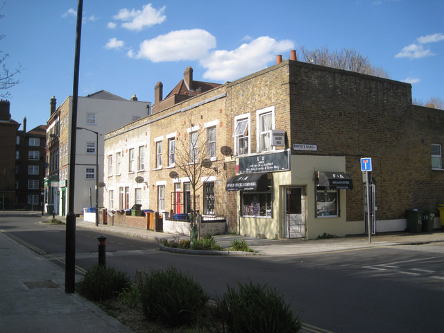
Image: © Robin Stott Taken: 5 Apr 2016
These streets are shown on a map of 1851, though Bagshot Street was called Yprk Road. Behind the camera and left is the Ravenstone block of the Aylesbury Estate, its easternmost extent.
Images are licensed for reuse under creativecommons.org/licenses/by-sa/2.0
Image Location
Latitude
51.487135
Longitude
-0.081368