Bus Terminus, East Ferry Road, Cubitt Town, E14
Introduction
The photograph on this page of Bus Terminus, East Ferry Road, Cubitt Town, E14 by David Hallam-Jones as part of the Geograph project.
The Geograph project started in 2005 with the aim of publishing, organising and preserving representative images for every square kilometre of Great Britain, Ireland and the Isle of Man.

There are currently over 7.5m images from over 14,400 individuals and you can help contribute to the project by visiting https://www.geograph.org.uk
Bus Terminus, East Ferry Road, Cubitt Town, E14
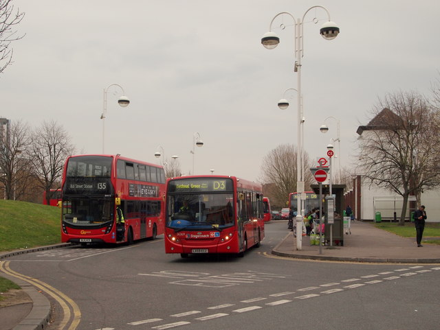
Image: © David Hallam-Jones Taken: 2 Apr 2016
A small terminus in the shadow of an ASDA hypermarket, near Crossharbour DLR (Docklands Light Railway) station. There is pedestrian access into the Mudchute City Farm and Park in the corner of this supermarket's car park ahead. Apparently the township is named after William Cubitt, a Lord Mayor of London in the 1860s. His brothers Thomas and Lewis were architects and engineers who built much of C19th London, including King's Cross station.
Images are licensed for reuse under creativecommons.org/licenses/by-sa/2.0
Image Location


Leaflet Map data © OpenStreetMap
Latitude
51.49447
Longitude
-0.014214