Stonehill Road, Chertsey
Introduction
The photograph on this page of Stonehill Road, Chertsey by Alan Hunt as part of the Geograph project.
The Geograph project started in 2005 with the aim of publishing, organising and preserving representative images for every square kilometre of Great Britain, Ireland and the Isle of Man.

There are currently over 7.5m images from over 14,400 individuals and you can help contribute to the project by visiting https://www.geograph.org.uk
Stonehill Road, Chertsey
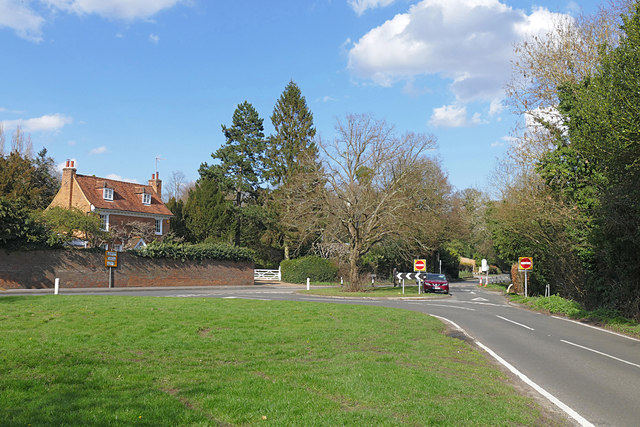
Image: © Alan Hunt Taken: 5 Apr 2016
The junction of Stonehill Road with Holloway Hill near Chertsey. The house (Anchor House) on the left occupies the site of a public house, The Anchor, marked on the 1870 OS map but not on later editions.
Images are licensed for reuse under creativecommons.org/licenses/by-sa/2.0
Image Location
Latitude
51.377659
Longitude
-0.533403