Paddock, Mudchute Farm, Cubitt Town, London, E14
Introduction
The photograph on this page of Paddock, Mudchute Farm, Cubitt Town, London, E14 by David Hallam-Jones as part of the Geograph project.
The Geograph project started in 2005 with the aim of publishing, organising and preserving representative images for every square kilometre of Great Britain, Ireland and the Isle of Man.

There are currently over 7.5m images from over 14,400 individuals and you can help contribute to the project by visiting https://www.geograph.org.uk
Paddock, Mudchute Farm, Cubitt Town, London, E14
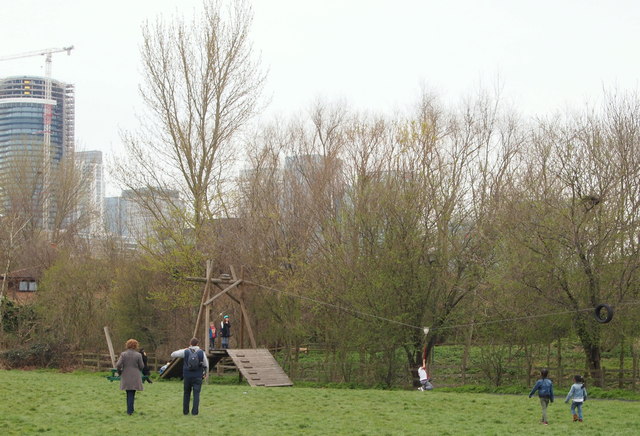
Image: © David Hallam-Jones Taken: 2 Apr 2016
Some maps and local plans have this field marked as the "lower paddock" although currently it appears to be being used as a playing field and it also sports some playground equipment. The multi-storey buildings seem likely to be situated on the other side of the A1206 (a.k.a. Manchester Road).
Images are licensed for reuse under creativecommons.org/licenses/by-sa/2.0
Image Location
Latitude
51.49268
Longitude
-0.009394