Field, Hartswell
Introduction
The photograph on this page of Field, Hartswell by Derek Harper as part of the Geograph project.
The Geograph project started in 2005 with the aim of publishing, organising and preserving representative images for every square kilometre of Great Britain, Ireland and the Isle of Man.

There are currently over 7.5m images from over 14,400 individuals and you can help contribute to the project by visiting https://www.geograph.org.uk
Field, Hartswell
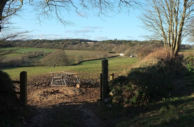
Image: © Derek Harper Taken: 31 Mar 2016
A gateway from the lane shown in Image Buildings at Higher Hartswell Farm can be seen on the right. Behind is woodland on Druid's Hill. This area is part of the site of the Battle of Lostwithiel on 21 August 1644 https://www.historicengland.org.uk/listing/the-list/list-entry/1413619 . "While the agricultural land management has changed since the battle, the battlefield area remains largely undeveloped and permits the course of the battles to be appreciated."
Images are licensed for reuse under creativecommons.org/licenses/by-sa/2.0
Image Location
Latitude
50.410975
Longitude
-4.639434