Pound between locks 2 and 1, Stroudwater Navigation
Introduction
The photograph on this page of Pound between locks 2 and 1, Stroudwater Navigation by Christine Johnstone as part of the Geograph project.
The Geograph project started in 2005 with the aim of publishing, organising and preserving representative images for every square kilometre of Great Britain, Ireland and the Isle of Man.

There are currently over 7.5m images from over 14,400 individuals and you can help contribute to the project by visiting https://www.geograph.org.uk
Pound between locks 2 and 1, Stroudwater Navigation
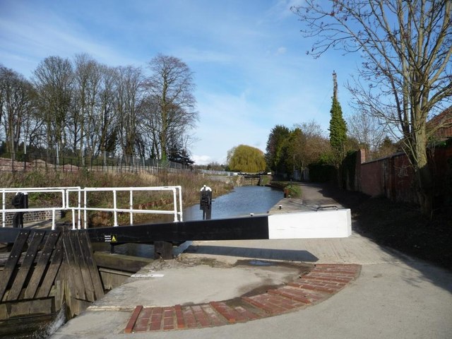
Image: © Christine Johnstone Taken: 28 Mar 2016
Lock 2 is also known as Dudbridge, Lower or Franklins Lock; Lock 1 as Foundry or Upper Lock.
Images are licensed for reuse under creativecommons.org/licenses/by-sa/2.0
Image Location
Latitude
51.742381
Longitude
-2.2382