Buildings below, on and above High Street, Chalford
Introduction
The photograph on this page of Buildings below, on and above High Street, Chalford by Christine Johnstone as part of the Geograph project.
The Geograph project started in 2005 with the aim of publishing, organising and preserving representative images for every square kilometre of Great Britain, Ireland and the Isle of Man.

There are currently over 7.5m images from over 14,400 individuals and you can help contribute to the project by visiting https://www.geograph.org.uk
Buildings below, on and above High Street, Chalford
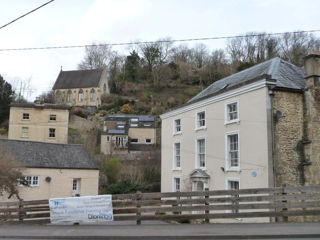
Image: © Christine Johnstone Taken: 28 Mar 2016
What looks like a former church is off a road called Marle Hill.
Images are licensed for reuse under creativecommons.org/licenses/by-sa/2.0
Image Location
Latitude
51.721754
Longitude
-2.152101