Chilla Methodist Church
Introduction
The photograph on this page of Chilla Methodist Church by Derek Harper as part of the Geograph project.
The Geograph project started in 2005 with the aim of publishing, organising and preserving representative images for every square kilometre of Great Britain, Ireland and the Isle of Man.

There are currently over 7.5m images from over 14,400 individuals and you can help contribute to the project by visiting https://www.geograph.org.uk
Chilla Methodist Church
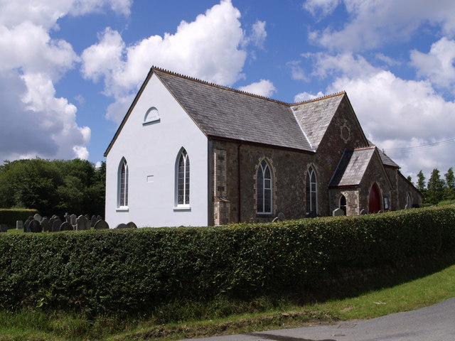
Image: © Derek Harper Taken: 7 Jul 2007
Built in 1893 as a Bible Christian chapel at the junction of the lane from West Chilla (which runs along the side of the building) with the Highampton to Halwill Junction road.
Images are licensed for reuse under creativecommons.org/licenses/by-sa/2.0
Image Location
Latitude
50.79229
Longitude
-4.209906