Beaton Public Hall, Methlick
Introduction
The photograph on this page of Beaton Public Hall, Methlick by Bill Harrison as part of the Geograph project.
The Geograph project started in 2005 with the aim of publishing, organising and preserving representative images for every square kilometre of Great Britain, Ireland and the Isle of Man.

There are currently over 7.5m images from over 14,400 individuals and you can help contribute to the project by visiting https://www.geograph.org.uk
Beaton Public Hall, Methlick
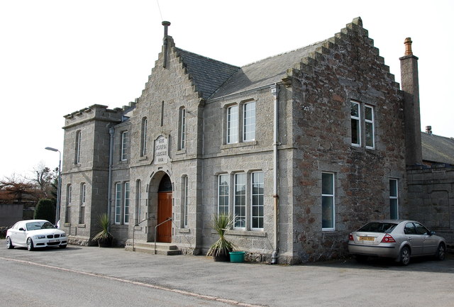
Image: © Bill Harrison Taken: 2 Apr 2016
A handsome community hall for a modest village apparently gifted by local farmer James Beaton.
Images are licensed for reuse under creativecommons.org/licenses/by-sa/2.0
Image Location
Latitude
57.427616
Longitude
-2.242611