New asymmetric lift-bridge, Stroud
Introduction
The photograph on this page of New asymmetric lift-bridge, Stroud by Christine Johnstone as part of the Geograph project.
The Geograph project started in 2005 with the aim of publishing, organising and preserving representative images for every square kilometre of Great Britain, Ireland and the Isle of Man.

There are currently over 7.5m images from over 14,400 individuals and you can help contribute to the project by visiting https://www.geograph.org.uk
New asymmetric lift-bridge, Stroud
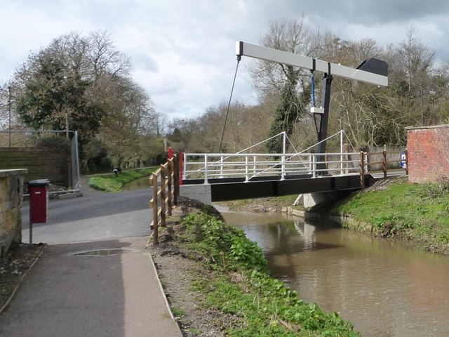
Image: © Christine Johnstone Taken: 28 Mar 2016
Carrying Lodgemore Lane over the Stroudwater Navigation, and providing access for Lodgemore Mills' trucks.
Images are licensed for reuse under creativecommons.org/licenses/by-sa/2.0
Image Location


Leaflet Map data © OpenStreetMap
Latitude
51.743929
Longitude
-2.228214