Brownfield site, Kenmuir
Introduction
The photograph on this page of Brownfield site, Kenmuir by Richard Sutcliffe as part of the Geograph project.
The Geograph project started in 2005 with the aim of publishing, organising and preserving representative images for every square kilometre of Great Britain, Ireland and the Isle of Man.

There are currently over 7.5m images from over 14,400 individuals and you can help contribute to the project by visiting https://www.geograph.org.uk
Brownfield site, Kenmuir
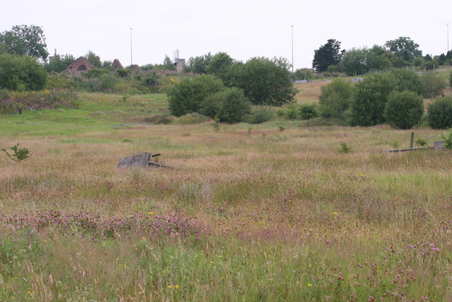
Image: © Richard Sutcliffe Taken: 20 Jul 2006
The ruins of Kenmuir can be seen in the top left of the image. The M74 lies just behind, and two of the overhead gantries and tall lights can be seen. The foreground is very overgrown, with derelict objects and equipment dotted around. The clover, and other wild flowers were very good for insects.
Images are licensed for reuse under creativecommons.org/licenses/by-sa/2.0
Image Location
Latitude
55.833439
Longitude
-4.142641