Alongside the M2 seen from Brogdale Road
Introduction
The photograph on this page of Alongside the M2 seen from Brogdale Road by Marathon as part of the Geograph project.
The Geograph project started in 2005 with the aim of publishing, organising and preserving representative images for every square kilometre of Great Britain, Ireland and the Isle of Man.

There are currently over 7.5m images from over 14,400 individuals and you can help contribute to the project by visiting https://www.geograph.org.uk
Alongside the M2 seen from Brogdale Road
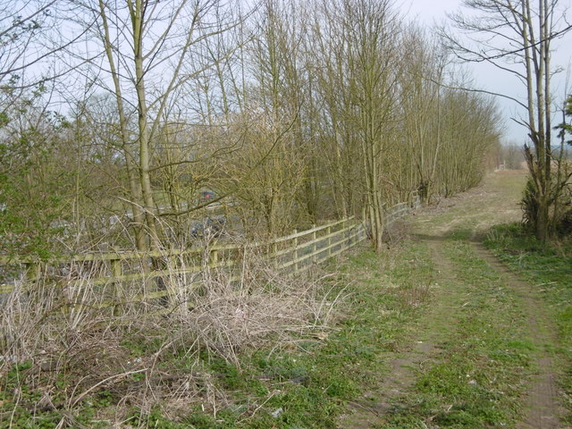
Image: © Marathon Taken: 2 Apr 2016
This section of the M2, which is on the left here behind the trees, opened in 1965 - see https://en.wikipedia.org/wiki/M2_motorway_(Great_Britain) Brogdale is famous for recording the highest ever temperature in the United Kingdom on 10th August 2003 of 38.5 degrees centigrade or 100.58 degrees farenheit.
Images are licensed for reuse under creativecommons.org/licenses/by-sa/2.0
Image Location
Latitude
51.301557
Longitude
0.878282