Arthuret Council Centre
Introduction
The photograph on this page of Arthuret Council Centre by Jonathan Thacker as part of the Geograph project.
The Geograph project started in 2005 with the aim of publishing, organising and preserving representative images for every square kilometre of Great Britain, Ireland and the Isle of Man.

There are currently over 7.5m images from over 14,400 individuals and you can help contribute to the project by visiting https://www.geograph.org.uk
Arthuret Council Centre
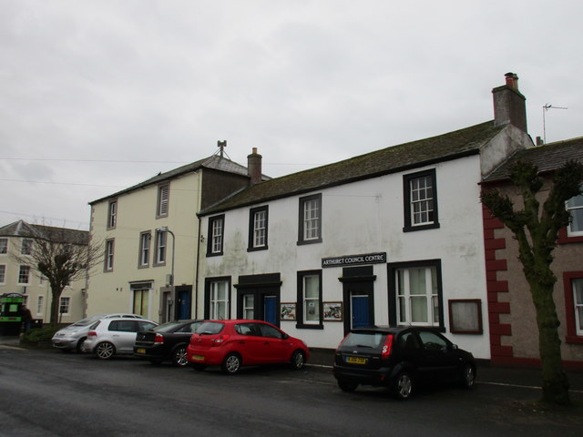
Image: © Jonathan Thacker Taken: 1 Apr 2016
Esk Street. Arthuret is the Civil Parish in which Longtown is located.
Images are licensed for reuse under creativecommons.org/licenses/by-sa/2.0
Image Location
Latitude
55.008428
Longitude
-2.972357