Maryhill Barracks wall
Introduction
The photograph on this page of Maryhill Barracks wall by Thomas Nugent as part of the Geograph project.
The Geograph project started in 2005 with the aim of publishing, organising and preserving representative images for every square kilometre of Great Britain, Ireland and the Isle of Man.

There are currently over 7.5m images from over 14,400 individuals and you can help contribute to the project by visiting https://www.geograph.org.uk
Maryhill Barracks wall
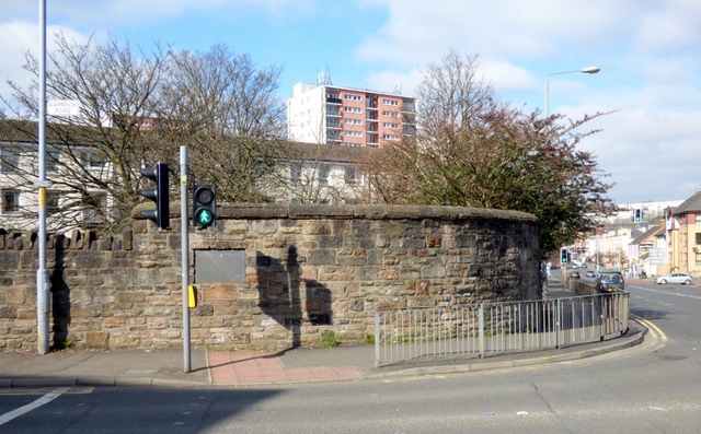
Image: © Thomas Nugent Taken: 19 Mar 2016
A surviving section of the perimeter wall of the barracks which were demolished in the early 1960s https://en.wikipedia.org/wiki/Maryhill_Barracks . See the plaque on the wall here Image
Images are licensed for reuse under creativecommons.org/licenses/by-sa/2.0
Image Location
Latitude
55.887825
Longitude
-4.286683