Maryhill Road at Sandbank Street
Introduction
The photograph on this page of Maryhill Road at Sandbank Street by Thomas Nugent as part of the Geograph project.
The Geograph project started in 2005 with the aim of publishing, organising and preserving representative images for every square kilometre of Great Britain, Ireland and the Isle of Man.

There are currently over 7.5m images from over 14,400 individuals and you can help contribute to the project by visiting https://www.geograph.org.uk
Maryhill Road at Sandbank Street
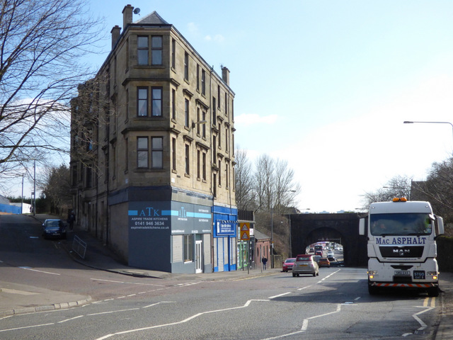
Image: © Thomas Nugent Taken: 19 Mar 2016
Sandbank Street is to the left of the tenement which is built on the gushet (triangular piece of land) at the junction of the two roads. The bridge on the right carries the Forth and Clyde Canal over Maryhill Road.
Images are licensed for reuse under creativecommons.org/licenses/by-sa/2.0
Image Location


Leaflet Map data © OpenStreetMap
Latitude
55.892001
Longitude
-4.294126