B5119, Rhyl to Dyserth Road
Introduction
The photograph on this page of B5119, Rhyl to Dyserth Road by Eirian Evans as part of the Geograph project.
The Geograph project started in 2005 with the aim of publishing, organising and preserving representative images for every square kilometre of Great Britain, Ireland and the Isle of Man.

There are currently over 7.5m images from over 14,400 individuals and you can help contribute to the project by visiting https://www.geograph.org.uk
B5119, Rhyl to Dyserth Road
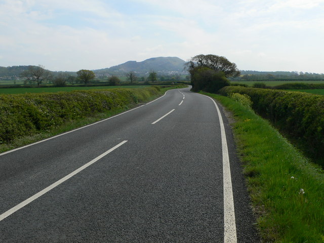
Image: © Eirian Evans Taken: 2 May 2012
The hill on the horizon is Moel Hiraddug on the summit of which there was an Iron Age hillfort.
Images are licensed for reuse under creativecommons.org/licenses/by-sa/2.0
Image Location
Latitude
53.313584
Longitude
-3.436399