The Chequers Tree, Prestwood (1)
Introduction
The photograph on this page of The Chequers Tree, Prestwood (1) by David Hillas as part of the Geograph project.
The Geograph project started in 2005 with the aim of publishing, organising and preserving representative images for every square kilometre of Great Britain, Ireland and the Isle of Man.

There are currently over 7.5m images from over 14,400 individuals and you can help contribute to the project by visiting https://www.geograph.org.uk
The Chequers Tree, Prestwood (1)
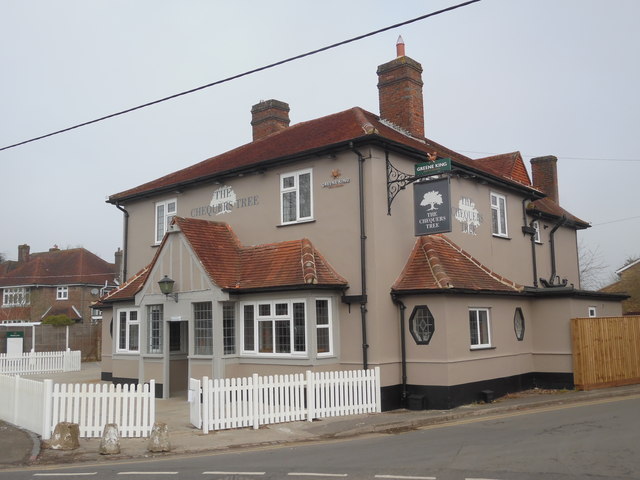
Image: © David Hillas Taken: 12 Mar 2016
This refurbished pub is situated in the centre of Prestwood and serves food and drink daily. It recently replaced The Chequers Pub http://www.geograph.org.uk/photo/1370572 refers. For SatNav purposes, its postcode is HP16 9HD.
Images are licensed for reuse under creativecommons.org/licenses/by-sa/2.0
Image Location
Latitude
51.699837
Longitude
-0.742093