Drive to Higher Derricombe
Introduction
The photograph on this page of Drive to Higher Derricombe by Derek Harper as part of the Geograph project.
The Geograph project started in 2005 with the aim of publishing, organising and preserving representative images for every square kilometre of Great Britain, Ireland and the Isle of Man.

There are currently over 7.5m images from over 14,400 individuals and you can help contribute to the project by visiting https://www.geograph.org.uk
Drive to Higher Derricombe
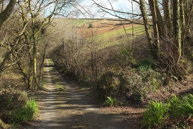
Image: © Derek Harper Taken: 31 Mar 2016
The private drive from the road down Derricombe from the A390, at the upper edge of the woods that coat the Fowey valley and its side combes.
Images are licensed for reuse under creativecommons.org/licenses/by-sa/2.0
Image Location
Latitude
50.449006
Longitude
-4.600275