Lane by Ty-llwyd-isaf farmstead
Introduction
The photograph on this page of Lane by Ty-llwyd-isaf farmstead by John Lucas as part of the Geograph project.
The Geograph project started in 2005 with the aim of publishing, organising and preserving representative images for every square kilometre of Great Britain, Ireland and the Isle of Man.

There are currently over 7.5m images from over 14,400 individuals and you can help contribute to the project by visiting https://www.geograph.org.uk
Lane by Ty-llwyd-isaf farmstead
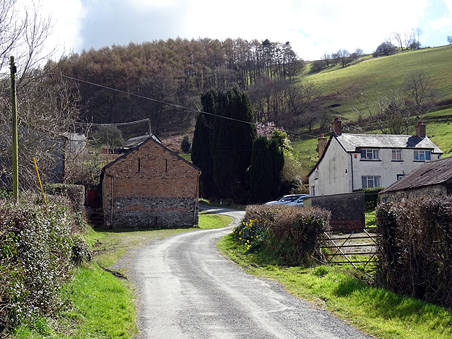
Image: © John Lucas Taken: 31 Mar 2016
Buildings of the farm are set either side of the road. The entrance to Nantyronen station is just past the farm on the left.
Images are licensed for reuse under creativecommons.org/licenses/by-sa/2.0
Image Location
Latitude
52.385811
Longitude
-3.950072