Gateway to the Moss
Introduction
The photograph on this page of Gateway to the Moss by Robert Murray as part of the Geograph project.
The Geograph project started in 2005 with the aim of publishing, organising and preserving representative images for every square kilometre of Great Britain, Ireland and the Isle of Man.

There are currently over 7.5m images from over 14,400 individuals and you can help contribute to the project by visiting https://www.geograph.org.uk
Gateway to the Moss
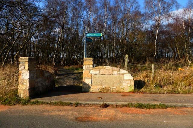
Image: © Robert Murray Taken: 19 Mar 2016
At Commonhead Road. These days it is referred to as an LNR - Local Nature Reserve. Most of the moss has at one time been harvested for the peat. In historical terms this land was 'Common' but in the mid Eighteenth century local landed proprietors took advantage of the law to divide it up between them. Refer North Lanarkshire Council Archives. Motherwell Heritage Centre. "Where Four Laird's waters meet, you'll find the fairies".
Images are licensed for reuse under creativecommons.org/licenses/by-sa/2.0
Image Location
Latitude
55.866671
Longitude
-4.086294