Hoe Valley - seen from Hoe Lane
Introduction
The photograph on this page of Hoe Valley - seen from Hoe Lane by Stefan Czapski as part of the Geograph project.
The Geograph project started in 2005 with the aim of publishing, organising and preserving representative images for every square kilometre of Great Britain, Ireland and the Isle of Man.

There are currently over 7.5m images from over 14,400 individuals and you can help contribute to the project by visiting https://www.geograph.org.uk
Hoe Valley - seen from Hoe Lane
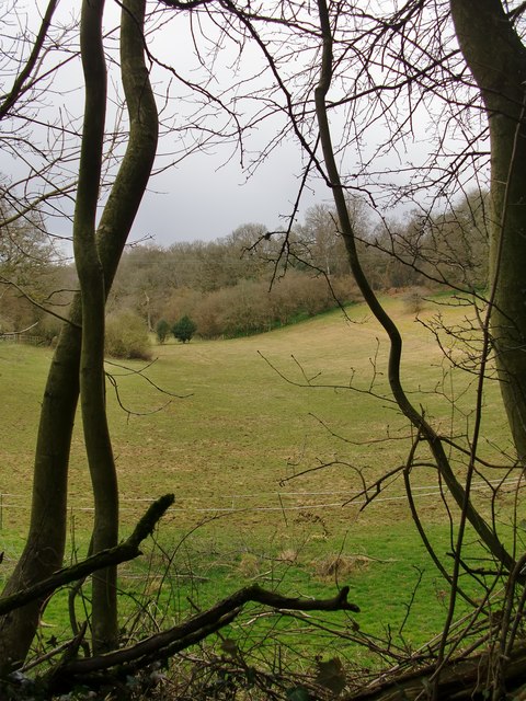
Image: © Stefan Czapski Taken: 30 Mar 2016
Even before the leaves come out it is impossible to get an unobstructed view southward along this valley from the road. This was the most open view I could find - the 'frame' of branches isn't there to prettify the picture. As for land-use, grazing here seems to be chiefly for horses. The lane connecting Sutton Abinger with the hamlet of Hoe is narrow, with steep sections - and a few days after storm Katie there was still a certain amount of debris on the road.
Images are licensed for reuse under creativecommons.org/licenses/by-sa/2.0
Image Location


Leaflet Map data © OpenStreetMap
Latitude
51.199775
Longitude
-0.435143