New houses, Horsforth Vale
Introduction
The photograph on this page of New houses, Horsforth Vale by Rich Tea as part of the Geograph project.
The Geograph project started in 2005 with the aim of publishing, organising and preserving representative images for every square kilometre of Great Britain, Ireland and the Isle of Man.

There are currently over 7.5m images from over 14,400 individuals and you can help contribute to the project by visiting https://www.geograph.org.uk
New houses, Horsforth Vale
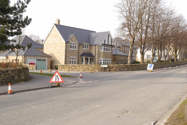
Image: © Rich Tea Taken: 13 Mar 2016
Looking along Calverley Lane, at houses by the main road into the Horsforth Vale development.
Images are licensed for reuse under creativecommons.org/licenses/by-sa/2.0
Image Location
Latitude
53.831489
Longitude
-1.663722