Ffolt crossroads
Introduction
The photograph on this page of Ffolt crossroads by Eirian Evans as part of the Geograph project.
The Geograph project started in 2005 with the aim of publishing, organising and preserving representative images for every square kilometre of Great Britain, Ireland and the Isle of Man.

There are currently over 7.5m images from over 14,400 individuals and you can help contribute to the project by visiting https://www.geograph.org.uk
Ffolt crossroads
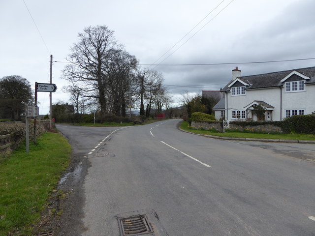
Image: © Eirian Evans Taken: 29 Mar 2016
The old drovers' road from Wrexham to Ruthin. The property on the right is Y Ffolt, and the road going left goes to Llanrhydd. Just behind the house is Salem chapel.
Images are licensed for reuse under creativecommons.org/licenses/by-sa/2.0
Image Location
Latitude
53.092665
Longitude
-3.28283