Former manor house, Wedmore
Introduction
The photograph on this page of Former manor house, Wedmore by Derek Harper as part of the Geograph project.
The Geograph project started in 2005 with the aim of publishing, organising and preserving representative images for every square kilometre of Great Britain, Ireland and the Isle of Man.

There are currently over 7.5m images from over 14,400 individuals and you can help contribute to the project by visiting https://www.geograph.org.uk
Former manor house, Wedmore
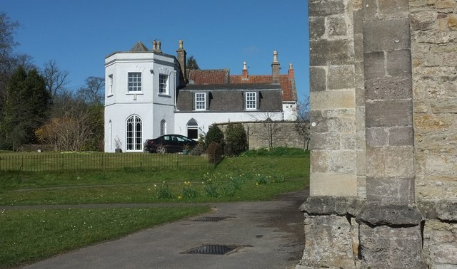
Image: © Derek Harper Taken: 25 Mar 2016
A view of the listed building https://www.historicengland.org.uk/listing/the-list/list-entry/1252778 shown in Image from beside the west end of Image
Images are licensed for reuse under creativecommons.org/licenses/by-sa/2.0
Image Location


Leaflet Map data © OpenStreetMap
Latitude
51.227741
Longitude
-2.81167