Wheat Field near Monk Hall, Shropshire
Introduction
The photograph on this page of Wheat Field near Monk Hall, Shropshire by Roger Kidd as part of the Geograph project.
The Geograph project started in 2005 with the aim of publishing, organising and preserving representative images for every square kilometre of Great Britain, Ireland and the Isle of Man.

There are currently over 7.5m images from over 14,400 individuals and you can help contribute to the project by visiting https://www.geograph.org.uk
Wheat Field near Monk Hall, Shropshire
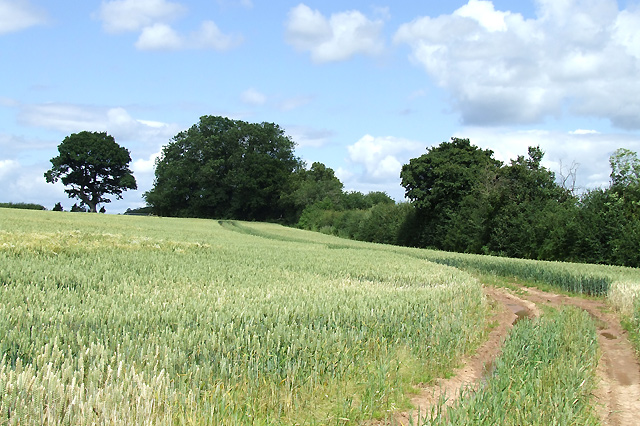
Image: © Roger Kidd Taken: 7 Jul 2007
Luckily, most of the wheat fields in the area have suffered limited damage following a persistently wet June.
Images are licensed for reuse under creativecommons.org/licenses/by-sa/2.0
Image Location


Leaflet Map data © OpenStreetMap
Latitude
52.544175
Longitude
-2.572824