Houses along the Blackwater, Aldershot
Introduction
The photograph on this page of Houses along the Blackwater, Aldershot by Alan Hunt as part of the Geograph project.
The Geograph project started in 2005 with the aim of publishing, organising and preserving representative images for every square kilometre of Great Britain, Ireland and the Isle of Man.

There are currently over 7.5m images from over 14,400 individuals and you can help contribute to the project by visiting https://www.geograph.org.uk
Houses along the Blackwater, Aldershot
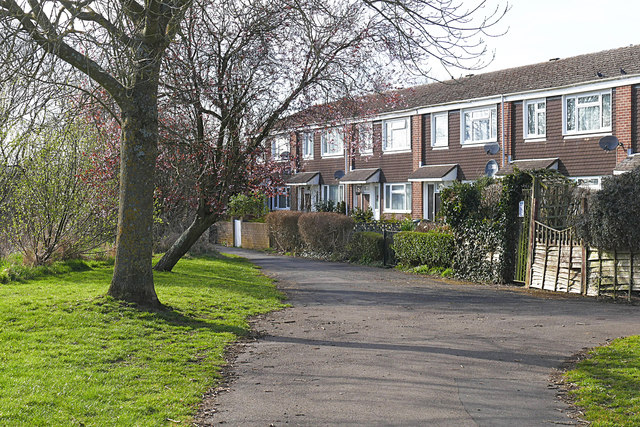
Image: © Alan Hunt Taken: 25 Mar 2016
A terrace at the end of Short Dale Road facing the River Blackwater.
Images are licensed for reuse under creativecommons.org/licenses/by-sa/2.0
Image Location
Latitude
51.230893
Longitude
-0.749478