Footpath and bridleway junction
Introduction
The photograph on this page of Footpath and bridleway junction by Graham Horn as part of the Geograph project.
The Geograph project started in 2005 with the aim of publishing, organising and preserving representative images for every square kilometre of Great Britain, Ireland and the Isle of Man.

There are currently over 7.5m images from over 14,400 individuals and you can help contribute to the project by visiting https://www.geograph.org.uk
Footpath and bridleway junction
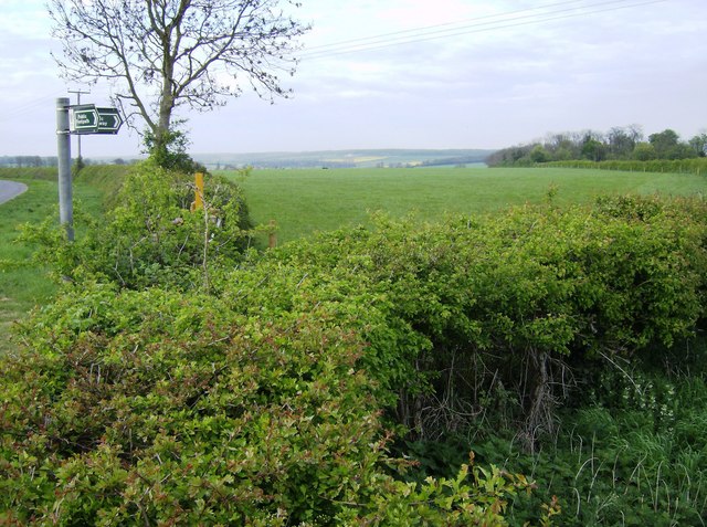
Image: © Graham Horn Taken: 22 Apr 2007
The footpath joins Empingham Road north of Woodside Farm, but a bridleway immediately leaves again across a field. On the map it looks as though the footpath from the southeast originally continued along the road to the northwest and was crossed by a route from the south west towards what is now the north east bridleway.
Images are licensed for reuse under creativecommons.org/licenses/by-sa/2.0
Image Location
Latitude
52.652581
Longitude
-0.587942