Heather Avenue
Introduction
The photograph on this page of Heather Avenue by Richard Sutcliffe as part of the Geograph project.
The Geograph project started in 2005 with the aim of publishing, organising and preserving representative images for every square kilometre of Great Britain, Ireland and the Isle of Man.

There are currently over 7.5m images from over 14,400 individuals and you can help contribute to the project by visiting https://www.geograph.org.uk
Heather Avenue
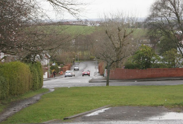
Image: © Richard Sutcliffe Taken: 27 Mar 2016
Heather Avenue runs east down a slight hill. Bailie Drive in the foreground joins it at the corner. The 'desire line' path on the left runs from Stockiemuir Road.
Images are licensed for reuse under creativecommons.org/licenses/by-sa/2.0
Image Location
Latitude
55.932296
Longitude
-4.340216