North east corner of Nant Philkins Fields, Oakdale
Introduction
The photograph on this page of North east corner of Nant Philkins Fields, Oakdale by M J Roscoe as part of the Geograph project.
The Geograph project started in 2005 with the aim of publishing, organising and preserving representative images for every square kilometre of Great Britain, Ireland and the Isle of Man.

There are currently over 7.5m images from over 14,400 individuals and you can help contribute to the project by visiting https://www.geograph.org.uk
North east corner of Nant Philkins Fields, Oakdale
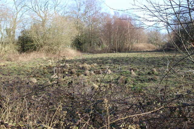
Image: © M J Roscoe Taken: 25 Mar 2016
This corner is part of an area of marshy grassland, a Site of Importance for Nature Conservation, occasionally grazed by horses.
Images are licensed for reuse under creativecommons.org/licenses/by-sa/2.0
Image Location
Latitude
51.677553
Longitude
-3.168824