Bus stop and shelter at the southern edge of Bynea
Introduction
The photograph on this page of Bus stop and shelter at the southern edge of Bynea by Jaggery as part of the Geograph project.
The Geograph project started in 2005 with the aim of publishing, organising and preserving representative images for every square kilometre of Great Britain, Ireland and the Isle of Man.

There are currently over 7.5m images from over 14,400 individuals and you can help contribute to the project by visiting https://www.geograph.org.uk
Bus stop and shelter at the southern edge of Bynea
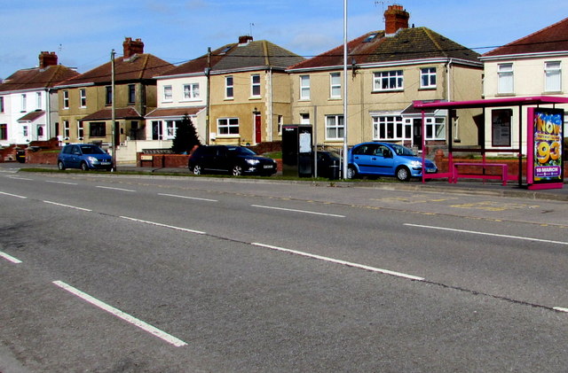
Image: © Jaggery Taken: 25 Mar 2016
Alongside the B4297. This side for buses to Loughor, Gorseinon and Swansea. The houses are in Yspitty Road.
Images are licensed for reuse under creativecommons.org/licenses/by-sa/2.0
Image Location
Latitude
51.666466
Longitude
-4.09067