Path in the Fereneze Hills
Introduction
The photograph on this page of Path in the Fereneze Hills by Alec MacKinnon as part of the Geograph project.
The Geograph project started in 2005 with the aim of publishing, organising and preserving representative images for every square kilometre of Great Britain, Ireland and the Isle of Man.

There are currently over 7.5m images from over 14,400 individuals and you can help contribute to the project by visiting https://www.geograph.org.uk
Path in the Fereneze Hills
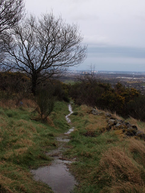
Image: © Alec MacKinnon Taken: 26 Mar 2016
The path whose start is shown in Image climbs first through broom, then turns away from the golf course. This picture looks back along the path, hinting at the great views across the whole of the Glasgow area.
Images are licensed for reuse under creativecommons.org/licenses/by-sa/2.0
Image Location
Latitude
55.80345
Longitude
-4.408116