Junction Pont Bren Road and Cefn Crib Road
Introduction
The photograph on this page of Junction Pont Bren Road and Cefn Crib Road by Jessica Aidley as part of the Geograph project.
The Geograph project started in 2005 with the aim of publishing, organising and preserving representative images for every square kilometre of Great Britain, Ireland and the Isle of Man.

There are currently over 7.5m images from over 14,400 individuals and you can help contribute to the project by visiting https://www.geograph.org.uk
Junction Pont Bren Road and Cefn Crib Road
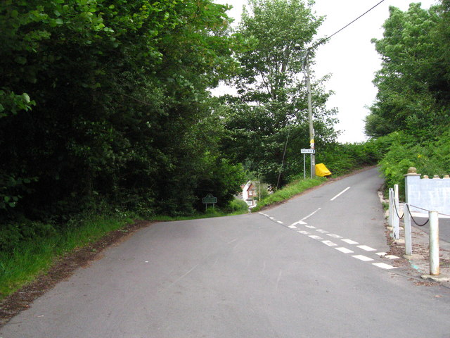
Image: © Jessica Aidley Taken: 6 Jul 2007
The road comes up from Hafodyrynys, and then goes on to some modern houses. The lane to the right leads up to Cefn Crib and the hill countryside.
Images are licensed for reuse under creativecommons.org/licenses/by-sa/2.0
Image Location
Latitude
51.684964
Longitude
-3.11882