Farm Field near Moore, Warrington
Introduction
The photograph on this page of Farm Field near Moore, Warrington by andy as part of the Geograph project.
The Geograph project started in 2005 with the aim of publishing, organising and preserving representative images for every square kilometre of Great Britain, Ireland and the Isle of Man.

There are currently over 7.5m images from over 14,400 individuals and you can help contribute to the project by visiting https://www.geograph.org.uk
Farm Field near Moore, Warrington
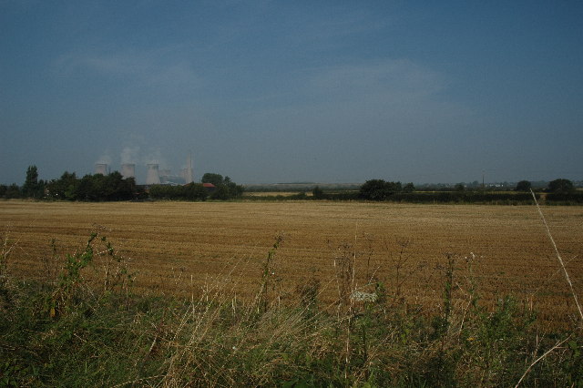
Image: © andy Taken: 4 Sep 2005
This is a view looking north west over a farm field near Moore, Warrington. Taken from SJ 56902 85225.
Images are licensed for reuse under creativecommons.org/licenses/by-sa/2.0
Image Location


Leaflet Map data © OpenStreetMap
Latitude
53.36213
Longitude
-2.649076