Rear of Penmaen Chapel
Introduction
The photograph on this page of Rear of Penmaen Chapel by M J Roscoe as part of the Geograph project.
The Geograph project started in 2005 with the aim of publishing, organising and preserving representative images for every square kilometre of Great Britain, Ireland and the Isle of Man.

There are currently over 7.5m images from over 14,400 individuals and you can help contribute to the project by visiting https://www.geograph.org.uk
Rear of Penmaen Chapel
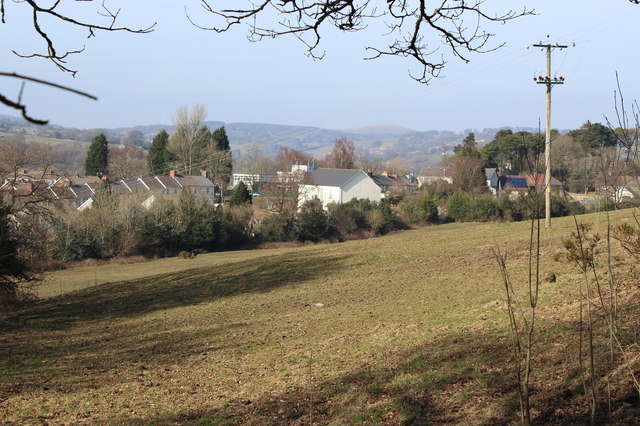
Image: © M J Roscoe Taken: 14 Mar 2016
Former chapel (white) now the base for a choir, viewed from the hillside. The pasture in the foreground is viewed from behind the chapel in Image A little used footpath Image crosses the pasture from the rear of the chapel.
Images are licensed for reuse under creativecommons.org/licenses/by-sa/2.0
Image Location
Latitude
51.671909
Longitude
-3.184731