Footpath from Wilberfoss toward Carberry Hill Farm
Introduction
The photograph on this page of Footpath from Wilberfoss toward Carberry Hill Farm by Martin Dawes as part of the Geograph project.
The Geograph project started in 2005 with the aim of publishing, organising and preserving representative images for every square kilometre of Great Britain, Ireland and the Isle of Man.

There are currently over 7.5m images from over 14,400 individuals and you can help contribute to the project by visiting https://www.geograph.org.uk
Footpath from Wilberfoss toward Carberry Hill Farm
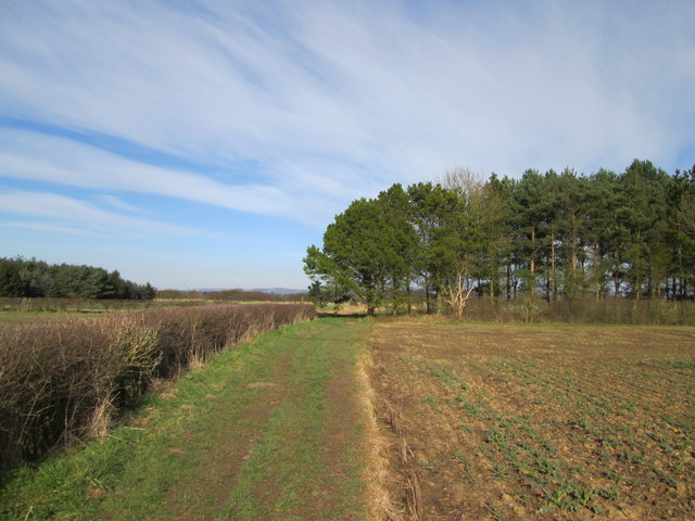
Image: © Martin Dawes Taken: 14 Mar 2016
Flat landscape in the distance to the left of the trees can be seen the East Yorkshire Wolds. Drainage ditch to the left behind the hedge
Images are licensed for reuse under creativecommons.org/licenses/by-sa/2.0
Image Location
Latitude
53.95236
Longitude
-0.876612