Muirhead Church
Introduction
The photograph on this page of Muirhead Church by Douglas Nelson as part of the Geograph project.
The Geograph project started in 2005 with the aim of publishing, organising and preserving representative images for every square kilometre of Great Britain, Ireland and the Isle of Man.

There are currently over 7.5m images from over 14,400 individuals and you can help contribute to the project by visiting https://www.geograph.org.uk
Muirhead Church
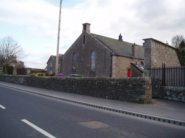
Image: © Douglas Nelson Taken: 22 Mar 2016
The church was built following The Disruption of 1843. Local stone was used and transported by local farmers. The church is linked to St Marnock's Church, Fowlis Easter, Liff Church and Lundie Church.
Images are licensed for reuse under creativecommons.org/licenses/by-sa/2.0
Image Location
Latitude
56.497413
Longitude
-3.071207