Extended house north of Oakley
Introduction
The photograph on this page of Extended house north of Oakley by David Howard as part of the Geograph project.
The Geograph project started in 2005 with the aim of publishing, organising and preserving representative images for every square kilometre of Great Britain, Ireland and the Isle of Man.

There are currently over 7.5m images from over 14,400 individuals and you can help contribute to the project by visiting https://www.geograph.org.uk
Extended house north of Oakley
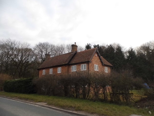
Image: © David Howard Taken: 20 Mar 2016
The part to the right of the old roof has been added some time after 2008
Images are licensed for reuse under creativecommons.org/licenses/by-sa/2.0
Image Location
Latitude
51.815091
Longitude
-1.080092