Countryside to the North of Gatenby
Introduction
The photograph on this page of Countryside to the North of Gatenby by Chris Heaton as part of the Geograph project.
The Geograph project started in 2005 with the aim of publishing, organising and preserving representative images for every square kilometre of Great Britain, Ireland and the Isle of Man.

There are currently over 7.5m images from over 14,400 individuals and you can help contribute to the project by visiting https://www.geograph.org.uk
Countryside to the North of Gatenby
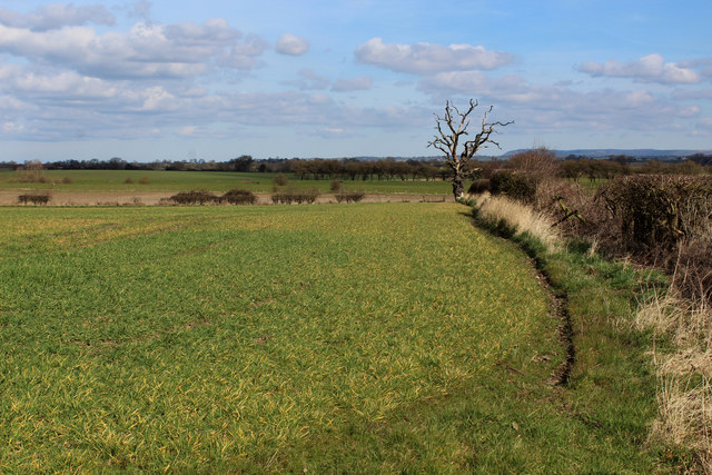
Image: © Chris Heaton Taken: 21 Mar 2016
Part of the Vale of Mowbray - flat terrain centred around the slow moving waters of the River Swale. It looks a tranquil scene, but is actually too close to RAF Leeming to qualify.
Images are licensed for reuse under creativecommons.org/licenses/by-sa/2.0
Image Location
Latitude
54.287775
Longitude
-1.503025