Field near A9
Introduction
The photograph on this page of Field near A9 by Richard Sutcliffe as part of the Geograph project.
The Geograph project started in 2005 with the aim of publishing, organising and preserving representative images for every square kilometre of Great Britain, Ireland and the Isle of Man.

There are currently over 7.5m images from over 14,400 individuals and you can help contribute to the project by visiting https://www.geograph.org.uk
Field near A9
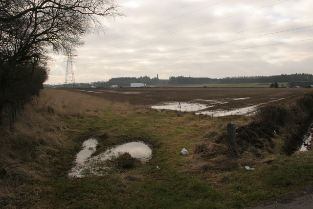
Image: © Richard Sutcliffe Taken: 19 Mar 2016
Looking across a field towards the A9. This end of the field still shows evidence of the flooding from previous weeks' heavy rain.
Images are licensed for reuse under creativecommons.org/licenses/by-sa/2.0
Image Location


Leaflet Map data © OpenStreetMap
Latitude
56.376377
Longitude
-3.526872