Former Barbour's mill, Hilden - March 2016(1)
Introduction
The photograph on this page of Former Barbour's mill, Hilden - March 2016(1) by Albert Bridge as part of the Geograph project.
The Geograph project started in 2005 with the aim of publishing, organising and preserving representative images for every square kilometre of Great Britain, Ireland and the Isle of Man.

There are currently over 7.5m images from over 14,400 individuals and you can help contribute to the project by visiting https://www.geograph.org.uk
Former Barbour's mill, Hilden - March 2016(1)
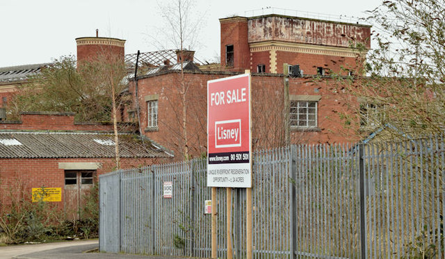
Image: © Albert Bridge Taken: 19 Mar 2016
Mill Street, Hilden with the derelict Barbour’s mill in the background. The “for sale” sign refers to an area of c 24 acres which makes the site considerably bigger than the 16 acres of the former Sirocco Quays, Belfast http://www.geograph.org.uk/snippet/2358.
Images are licensed for reuse under creativecommons.org/licenses/by-sa/2.0
Image Location
Latitude
54.520831
Longitude
-6.025074