Disused church, Mattison Road
Introduction
The photograph on this page of Disused church, Mattison Road by Jim Osley as part of the Geograph project.
The Geograph project started in 2005 with the aim of publishing, organising and preserving representative images for every square kilometre of Great Britain, Ireland and the Isle of Man.

There are currently over 7.5m images from over 14,400 individuals and you can help contribute to the project by visiting https://www.geograph.org.uk
Disused church, Mattison Road
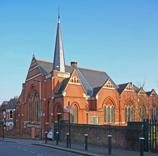
Image: © Jim Osley Taken: 17 Mar 2016
The image features the former Roman Catholic church of St Augustine of Canterbury. "Built as a Methodist church in 1900, sold to the Roman Catholics in 1963 and closed in 2009" - quoted from this https://londonchurchbuildings.wordpress.com/2013/09/13/st-augustine-of-canterbury-former-mattison-road-haringey-roman-catholic/.
Images are licensed for reuse under creativecommons.org/licenses/by-sa/2.0
Image Location
Latitude
51.579736
Longitude
-0.102151