Near the River Ember
Introduction
The photograph on this page of Near the River Ember by steve as part of the Geograph project.
The Geograph project started in 2005 with the aim of publishing, organising and preserving representative images for every square kilometre of Great Britain, Ireland and the Isle of Man.

There are currently over 7.5m images from over 14,400 individuals and you can help contribute to the project by visiting https://www.geograph.org.uk
Near the River Ember
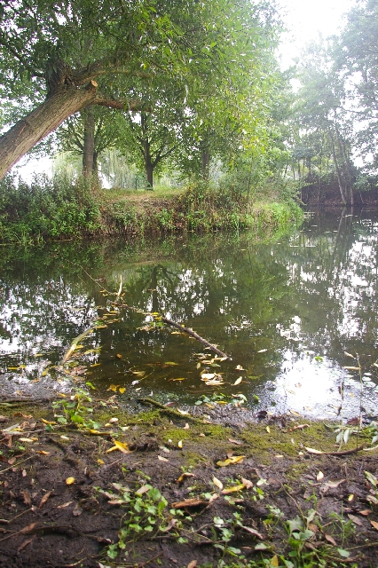
Image: © steve Taken: 4 Sep 2005
South East of the Island Barn reservoir and North of Esher station is a recreational ground with this meandering stream
Images are licensed for reuse under creativecommons.org/licenses/by-sa/2.0
Image Location


Leaflet Map data © OpenStreetMap
Latitude
51.386005
Longitude
-0.355935