Flooded fields at Springbank Farm
Introduction
The photograph on this page of Flooded fields at Springbank Farm by Stephen Craven as part of the Geograph project.
The Geograph project started in 2005 with the aim of publishing, organising and preserving representative images for every square kilometre of Great Britain, Ireland and the Isle of Man.

There are currently over 7.5m images from over 14,400 individuals and you can help contribute to the project by visiting https://www.geograph.org.uk
Flooded fields at Springbank Farm
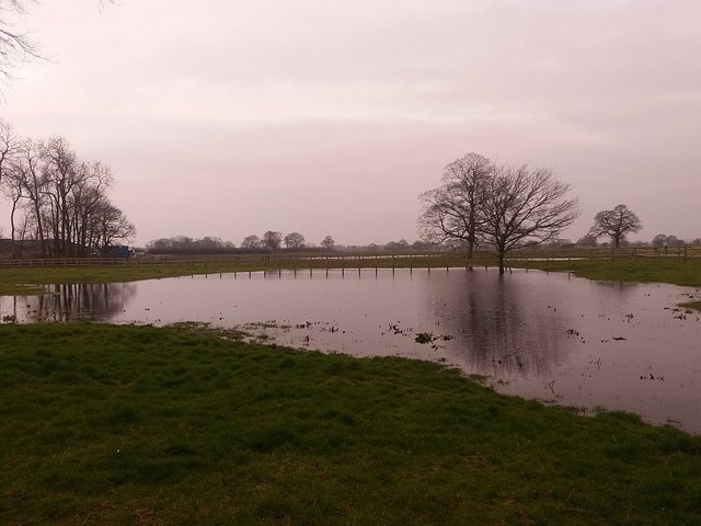
Image: © Stephen Craven Taken: 12 Mar 2016
Large scale maps do show a permanent pond in the nearest field, but after the very wet winter of 2015/6, it had swollen, and adjacent fields were also flooded. This is nothing new: see also Image
Images are licensed for reuse under creativecommons.org/licenses/by-sa/2.0
Image Location
Latitude
53.161837
Longitude
-2.37043