Derrygarve Church
Introduction
The photograph on this page of Derrygarve Church by Robert Ashby as part of the Geograph project.
The Geograph project started in 2005 with the aim of publishing, organising and preserving representative images for every square kilometre of Great Britain, Ireland and the Isle of Man.

There are currently over 7.5m images from over 14,400 individuals and you can help contribute to the project by visiting https://www.geograph.org.uk
Derrygarve Church
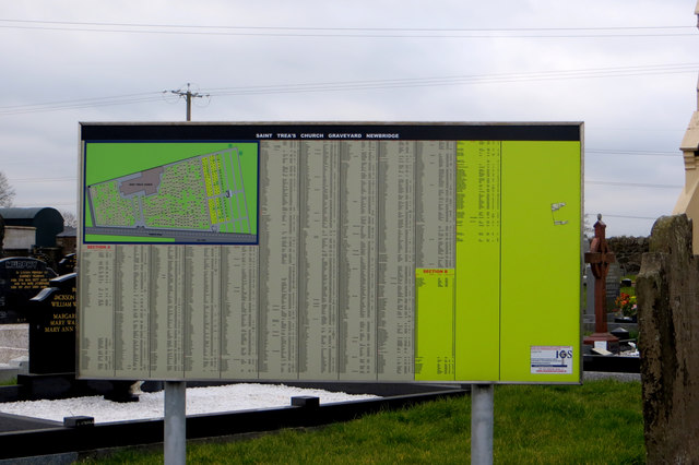
Image: © Robert Ashby Taken: 16 Mar 2016
Information panel showing plan of the cemetery with list of the graves and names of the occupants. I haven't seen this sort of thing outside a church before. The only other example I've seen is at the Green Garden old Quaker burial ground at Milltown in square J0095 north of Toome.
Images are licensed for reuse under creativecommons.org/licenses/by-sa/2.0
Image Location
Latitude
54.753338
Longitude
-6.529468