Path and North Tyneside Steam Railway
Introduction
The photograph on this page of Path and North Tyneside Steam Railway by Richard Webb as part of the Geograph project.
The Geograph project started in 2005 with the aim of publishing, organising and preserving representative images for every square kilometre of Great Britain, Ireland and the Isle of Man.

There are currently over 7.5m images from over 14,400 individuals and you can help contribute to the project by visiting https://www.geograph.org.uk
Path and North Tyneside Steam Railway
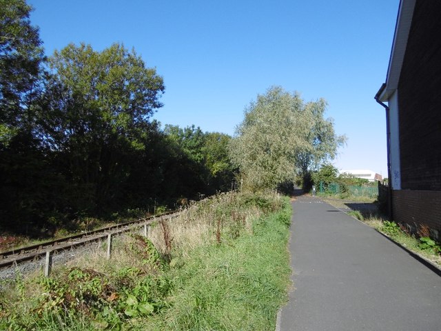
Image: © Richard Webb Taken: 1 Oct 2015
A preserved railway on the site of the Seatonburn Waggonway and the Blyth and Tyne Railway. There were two railways running beside each other here and one (Backworth Colliery railway) has been converted into the path used by the Reiver's Route. This is a coast to coast route through Kielder Forest. The railway is shown as operational on the 1976 1:50,000 Ordnance Survey map.
Images are licensed for reuse under creativecommons.org/licenses/by-sa/2.0
Image Location
Latitude
55.00248
Longitude
-1.477975