The southern end of Avenue Two, Witney, Oxon
Introduction
The photograph on this page of The southern end of Avenue Two, Witney, Oxon by P L Chadwick as part of the Geograph project.
The Geograph project started in 2005 with the aim of publishing, organising and preserving representative images for every square kilometre of Great Britain, Ireland and the Isle of Man.

There are currently over 7.5m images from over 14,400 individuals and you can help contribute to the project by visiting https://www.geograph.org.uk
The southern end of Avenue Two, Witney, Oxon
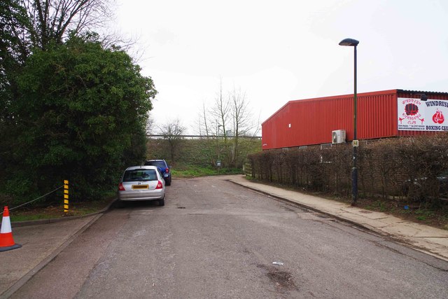
Image: © P L Chadwick Taken: 13 Mar 2016
Around the corner, at the bottom of this road, there is a footpath/cycleway which passes through a tunnel under the A40 road and leads to Witney Lake. Image
Images are licensed for reuse under creativecommons.org/licenses/by-sa/2.0
Image Location


Leaflet Map data © OpenStreetMap
Latitude
51.775491
Longitude
-1.487019