Anglesey Coast Path
Introduction
The photograph on this page of Anglesey Coast Path by Eirian Evans as part of the Geograph project.
The Geograph project started in 2005 with the aim of publishing, organising and preserving representative images for every square kilometre of Great Britain, Ireland and the Isle of Man.

There are currently over 7.5m images from over 14,400 individuals and you can help contribute to the project by visiting https://www.geograph.org.uk
Anglesey Coast Path
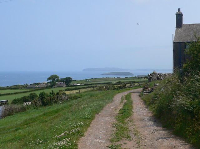
Image: © Eirian Evans Taken: 5 Jul 2013
Rounding the northern side of Bwrdd Arthur, the view opens out and Ynys Seiriol (Puffin Island) appears. Beyond it is the Great Orme.
Images are licensed for reuse under creativecommons.org/licenses/by-sa/2.0
Image Location
Latitude
53.313299
Longitude
-4.12391