Lane past Courtlands
Introduction
The photograph on this page of Lane past Courtlands by Derek Harper as part of the Geograph project.
The Geograph project started in 2005 with the aim of publishing, organising and preserving representative images for every square kilometre of Great Britain, Ireland and the Isle of Man.

There are currently over 7.5m images from over 14,400 individuals and you can help contribute to the project by visiting https://www.geograph.org.uk
Lane past Courtlands
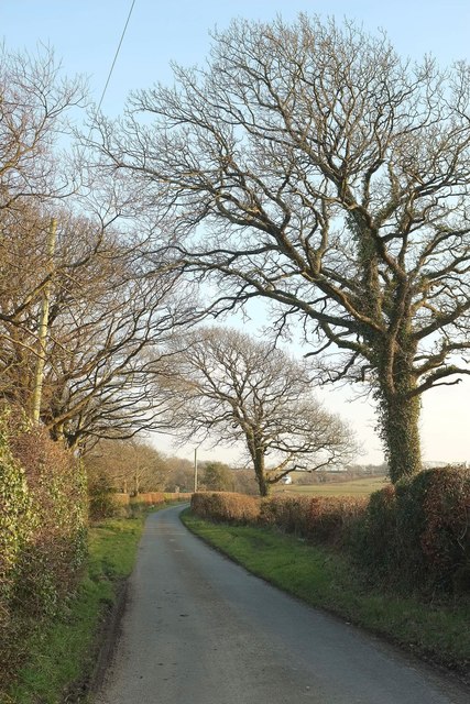
Image: © Derek Harper Taken: 15 Mar 2016
The lane south from Pyworthy passes roadside trees. The white house visible right of centre is Brooks House, at the junction with the Holsworthy to North Tamerton road.
Images are licensed for reuse under creativecommons.org/licenses/by-sa/2.0
Image Location
Latitude
50.792004
Longitude
-4.388541