A465, Wormbridge
Introduction
The photograph on this page of A465, Wormbridge by Jaggery as part of the Geograph project.
The Geograph project started in 2005 with the aim of publishing, organising and preserving representative images for every square kilometre of Great Britain, Ireland and the Isle of Man.

There are currently over 7.5m images from over 14,400 individuals and you can help contribute to the project by visiting https://www.geograph.org.uk
A465, Wormbridge
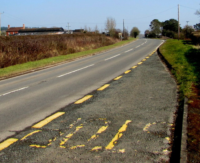
Image: © Jaggery Taken: 13 Mar 2016
From the Wormbridge Kilpeck Turn bus stop. http://www.geograph.org.uk/photo/4865892 The right turn for the minor road SE to Kilpeck is behind a pole in the background.
Images are licensed for reuse under creativecommons.org/licenses/by-sa/2.0
Image Location
Latitude
51.979474
Longitude
-2.818492