Myrtle Hill, Myddfai
Introduction
The photograph on this page of Myrtle Hill, Myddfai by Bonelli as part of the Geograph project.
The Geograph project started in 2005 with the aim of publishing, organising and preserving representative images for every square kilometre of Great Britain, Ireland and the Isle of Man.

There are currently over 7.5m images from over 14,400 individuals and you can help contribute to the project by visiting https://www.geograph.org.uk
Myrtle Hill, Myddfai
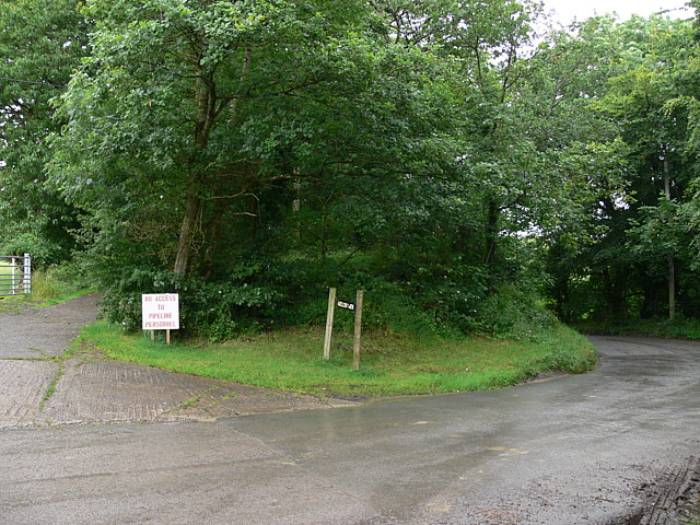
Image: © Bonelli Taken: Unknown
Black sign reads Gollen wen. photo taken from OS 1:25000 spot height marked as 159m, the highest point of the road over Myrtle hill.
Images are licensed for reuse under creativecommons.org/licenses/by-sa/2.0
Image Location
Latitude
51.96103
Longitude
-3.798396